Drone-Based
Aerial Intelligence
The complete drone analytics solution to inspect, measure, analyze and report visual data needed to make better decisions
The complete drone analytics solution to inspect, measure, analyze and report visual data needed to make better decisions


Kespry's drone-based aerial intelligence platform enables enterprises to transform how they capture, analyze and share insights about their business, providing the information needed to accelerate their operations. Purpose-built for industrial use, Kespry's platform delivers the data needed to close claims faster, measure stockpiles, survey mines more accurately, and operate earthworks projects more efficiently, all while being simple enough for any user.
Aggregates and mining industries have transitioned from using drones for single-use cases to standardizing on them company-wide to drive their entire businesses. Unlocking the full potential of drone-based data with Kespry enables teams to frequently capture data across multiple departments and sites for mine planning, inventory management and on-site operations, creating a single source of truth any team member can tap into, anytime.
Learn More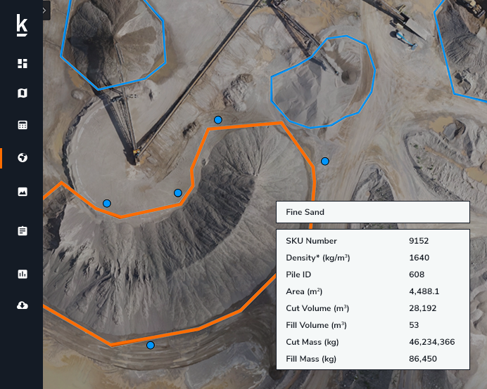
Drone-based aerial intelligence enables production plant and production managers to accurately analyze stockpile inventories, better manage supply chain activity and improve site operations - maximizing profitability across production and supply chain operations. Kespry's easy-to-use automated solution, backed by comprehensive support and training, enables Pulp & Paper organizations to boost productivity at every site.
Learn More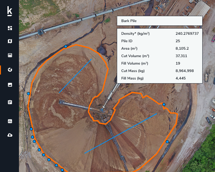
Processing industries such as Oil & Gas, Chemicals and Energy require daily and regularly scheduled site inspections, and Kespry's drone-based aerial intelligence platform offers an accurate and easy-to-use solution. A single 30-minute or less drone flight across the entire site is used to monitor the condition and quantities of storage tanks, buildings, pipelines, access roads and stockpiled materials with centimeter-level accuracy.
Learn More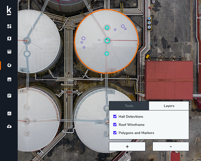
Kespry provides a complete solution for construction and engineering companies to better manage proposed and active earthwork operations. Without using multiple, cumbersome ground control points, survey-grade field data can be collected for an entire site in as little as 30 minutes.
Learn More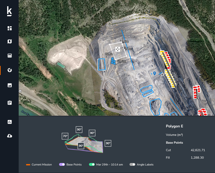
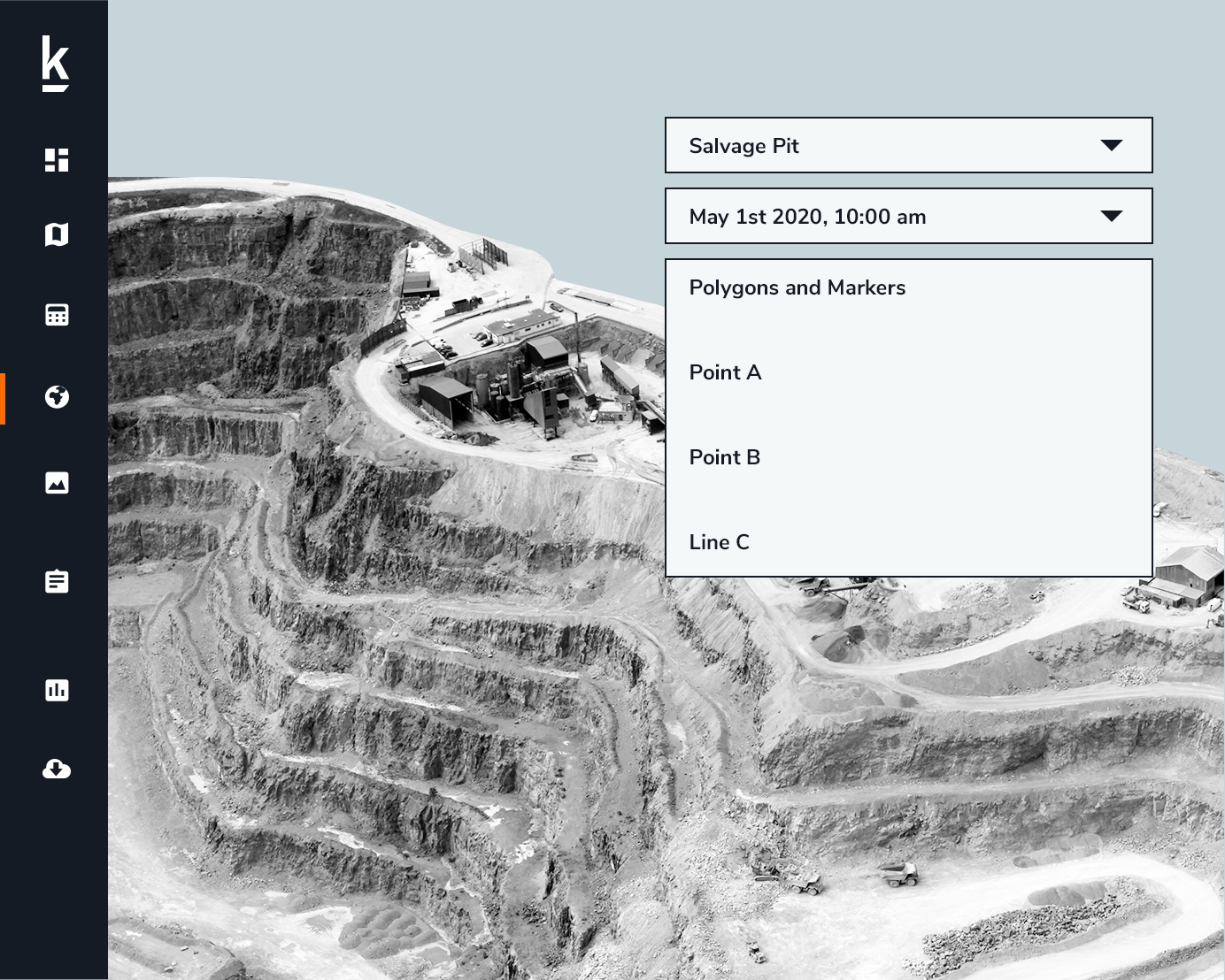
We’re trusted by our customers because we provide a drone data and analytics solution for market leaders in mining and aggregates, insurance and roofing businesses. The Kespry platform is easy to deploy in the field, and delivers the accurate data needed to close claims faster, measure stockpiles more accurately, survey mines more efficiently and optimize roof inspections, giving our customers the insights needed to make better business decisions.
You can find more details on how the Kespry platform works below –
How it WorksReady to see how Kespry’s drone-based Aerial Intelligence platform enables you to rapidly and accurately survey and analyze stockpile inventories, comprehensively track large-scale worksites across industries, and inspect residential and commercial rooftops? Request a demo now and we’ll show you how our platform can work for you.
Request Demo