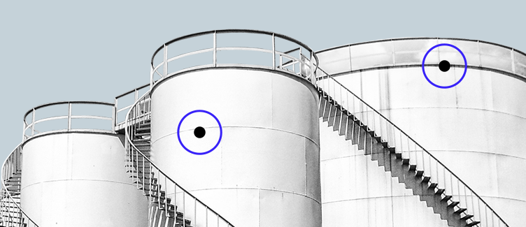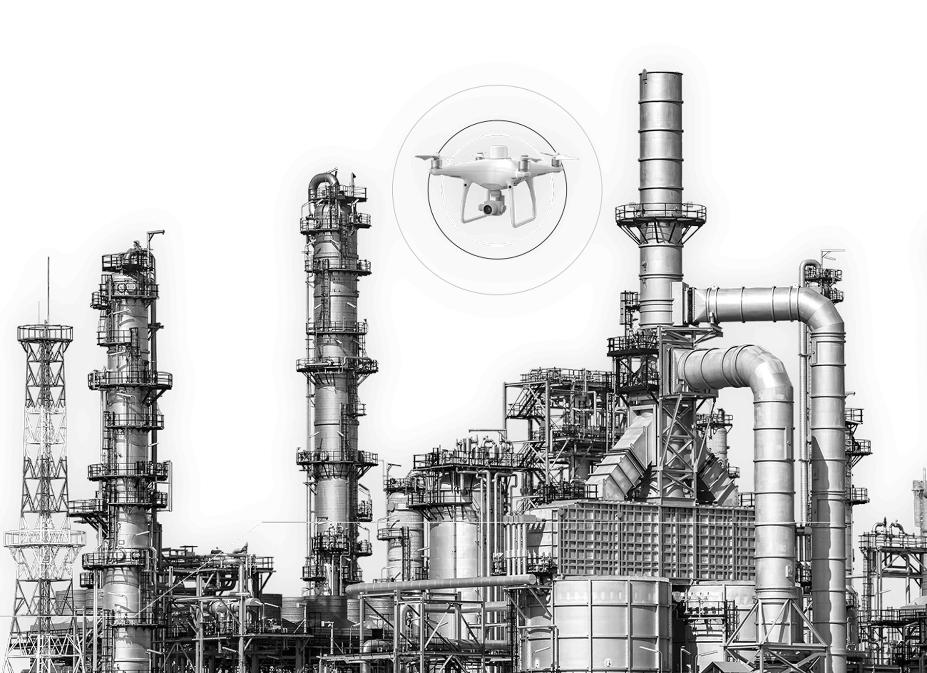

A single 30-minute or less drone flight across the entire site is used to monitor the condition and quantities of storage tanks, buildings, pipelines, access roads and stockpiled materials with accuracy levels down to centimeters and millimeters. Flight data is automatically collected and processed in a single, secure online cloud location where automatically generated reports, models and dashboards are available for analysis.
Learn MoreDrone-Based Aerial Intelligence for Process Industries
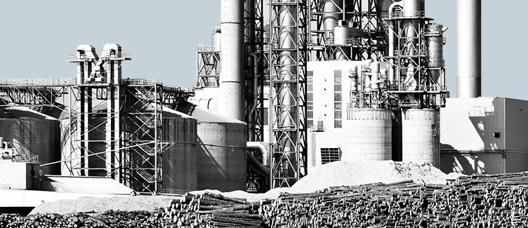
Kespry enables processing industries such as Oil and Gas, Chemicals and Energy Utilities with the most accurate and easy to use drone-based solution for daily and regularly scheduled site inspections.