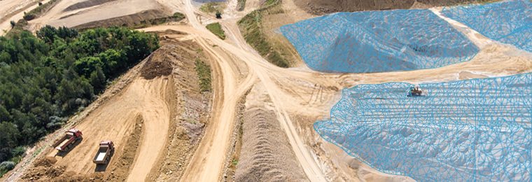
It’s still common practice to use traditional in-house survey methods as well as manned aerial flight data for inventory and earthwork assessment. The problem with using these older techniques lies in how effective they are and how much value they provide to the business. For example, a survey using an optical total station has a level of accuracy compared to a wheel and tape, laser level, or GPS base and rover. Not only does using these different tools create inconsistency in data, but most of these techniques have other negative impacts such as jeopardizing worker safety and data limitations that result in added costs, unanticipated errors, and wasted time.
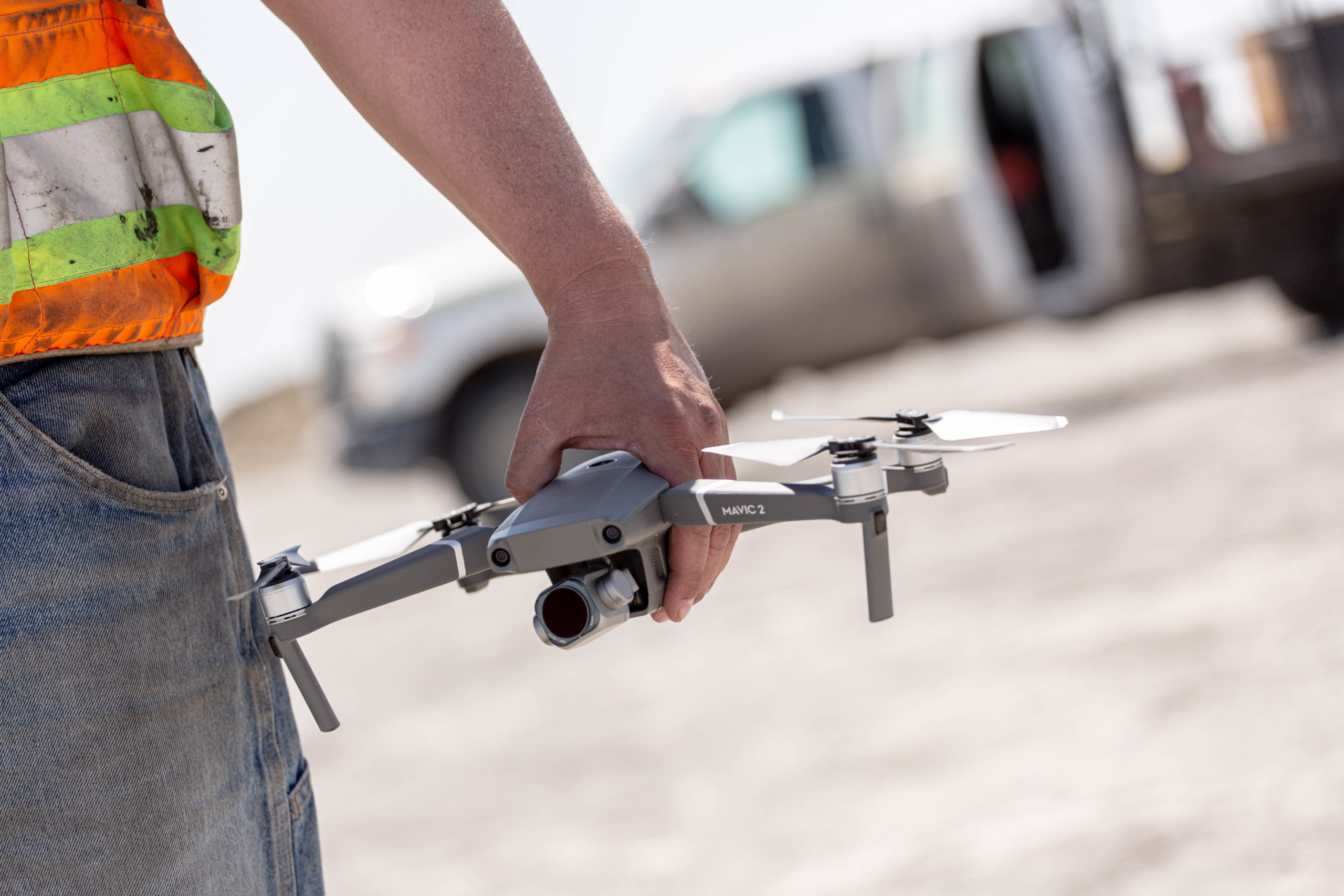
These companies are looking to drone technology to improve their stockpile inventory management program. But not all drone technologies are the same. There are several options available on the market offering cobbled together “DIY” solutions as well as 3rd party service providers. With these mixed solutions, data integrity becomes challenged as human error and workflow procedures can vary greatly.
Leading aggregates and mining producers are finding a much better ROI when using an end-to-end drone solution like Kespry. These complete and easy to use systems provide a single source of secure data from field to finish, allowing teams to:
1. Strengthen inventory data accuracy & reliability: Reduce costs and strengthen inventory confidence with highly accurate data
2. Increase frequency and consumption: Easily capture enough data to identify patterns and make intelligent decisions
3. Improve worker safety: Protect employees by using an automated system that operates above the worksite
To learn more about how leading companies are driving profitability with Kespry solutions, download our white paper.


