Tony Cinkovich, Senior Project Manager, recently shared how Pine Bluff Sand and Gravel used drone data from their Kespry Automated Drone System for Haul Truck Road Construction.
Prior to this section, Tony discussed using drone data for inventory management and mine planning.
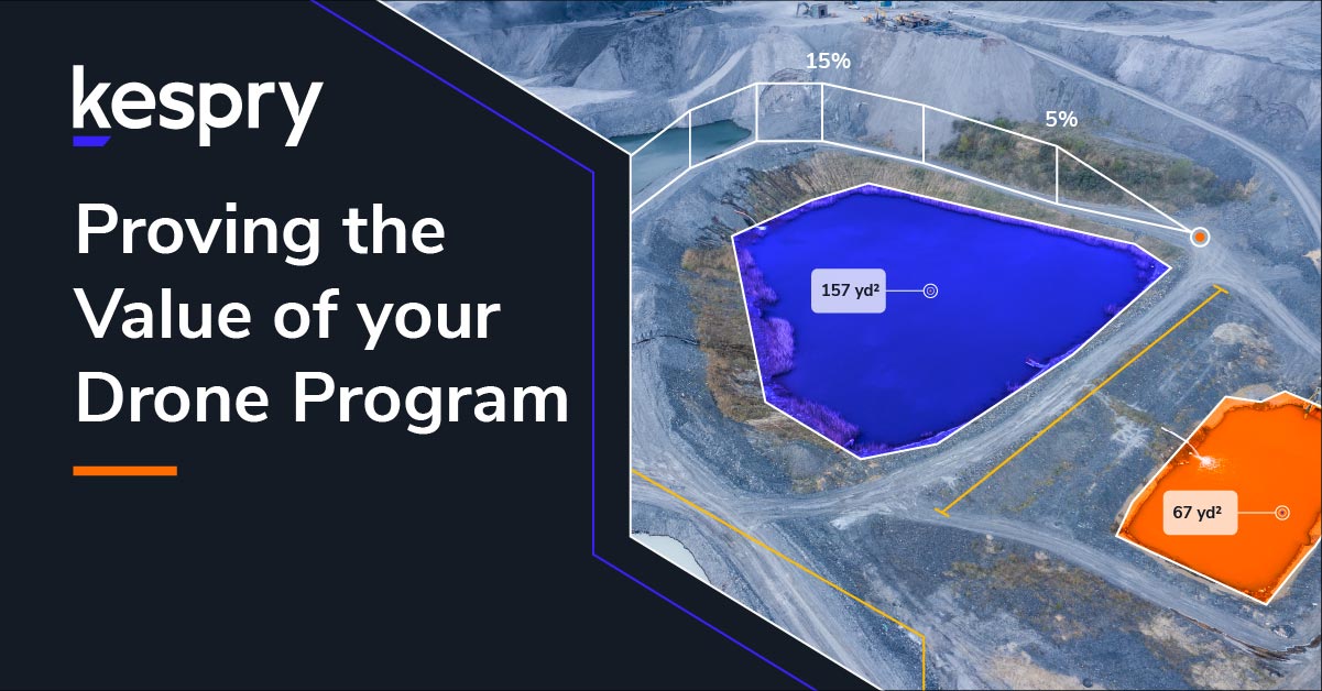
The Kespry Cloud displays high-resolution aerial imagery for the area of construction.
“We had a new ramp that we were going to construct in our pit. We have a standard width we try to keep our roads. In doing so, we laid out the width of the bench above, and we started blasting and putting material on the ground below.”
The Kespry Cloud provides volumetric data for each area outlined.
“We used the drone to do a flight after we’d done the blasting, to see how much material there was. We were able to import that information into AutoCAD and actually lay out the ramp. Using our cut and fill volumes, we could tell the production folks how much to haul from the bottom to the top and where to put it.”
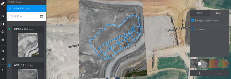
The Kespry Cloud displays elevation changes as construction progresses.
“This saved a lot of time, saved us some fuel and made us much more efficient as opposed to having a bulldozer up there trying to push and just get it leveled out. We were able to bring him material where he needed the material, as opposed to just placing it in a general location.”
The Kespry Cloud allows for 3D visualization during construction and final documentation.