Project Planning and Documentation
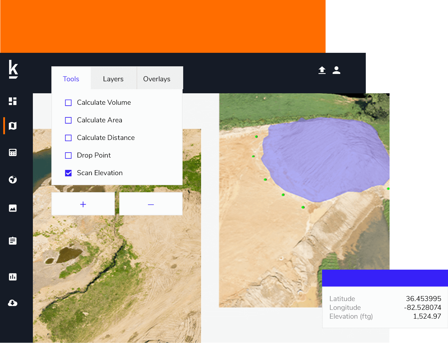
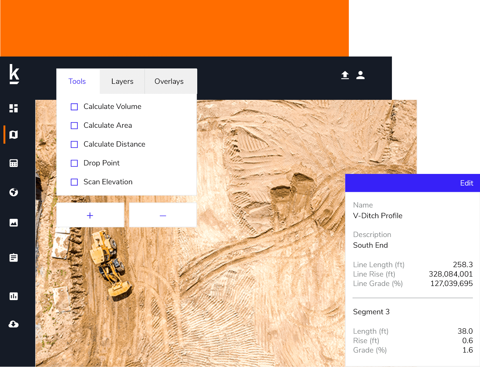
Kespry’s user-friendly, end-to-end drone solution empowers earthworks contractors to collect their own, independent survey-grade data to use throughout the entire length of the project.
Kespry’s user-friendly, end-to-end drone solution empowers earthworks contractors to collect their own, independent survey-grade data to use throughout the entire length of the project.


Read our whitepaper “Drones For Earthworks Projects: Pre-Construction” to learn more.
Download NowProject managers and site surveyors are deploying Kespry throughout the project to record phase completion
Watch the video “Earthworks Toolset Demo” to learn more.
With Kespry, companies validate and develop an efficient schedule before projects begin


The Kespry system lets us know exactly how much dirt we’re moving and if we’re behind or ahead of schedule. Now, we can easily track production and provide information to the developers we work with so they’re confident in our work.
Justin Geiger
Project Engineer, D&T Excavation

We use the Kespry Drone to topo a jobsite whenever we want. Once a week, or if there's a change, we can run out there and do it on a daily basis just for a progress topo. We know where we're at on a job, how far we have to go, and then are able to quickly get the data to know where work still needs to occur.
Dan Liechty
Project Engineer, D&T Excavation
Ready to see how Kespry’s drone-based Aerial Intelligence platform enables you to rapidly and accurately survey and analyze stockpile inventories, comprehensively track large-scale worksites across industries, and inspect residential and commercial rooftops? Request a demo now and we’ll show you how our platform can work for you.
Request Demo