Download Now
Achieving Survey-Grade Data Faster
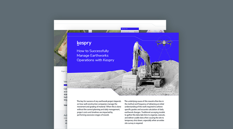
By downloading this guide, you will learn how construction companies have used the Kespry Aerial Intelligence solution to increase productivity and accuracy.
In this guide you will learn:
- How Kespry sets a new standard for Earthworks Grade Management
- Show how users can quickly and accurately perform regular cut and fill calculations
- Help your operation plan for compliance and validation of project timelines