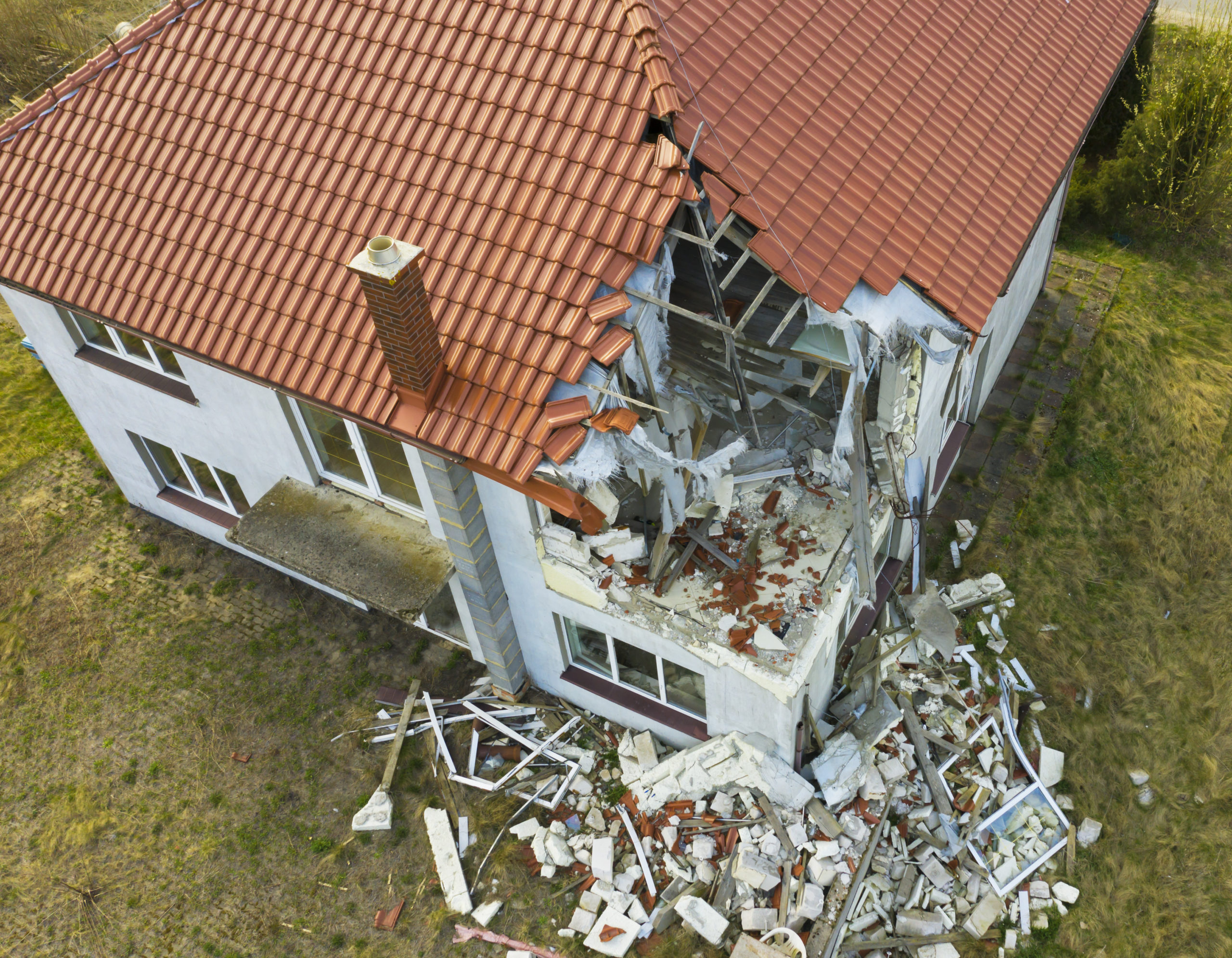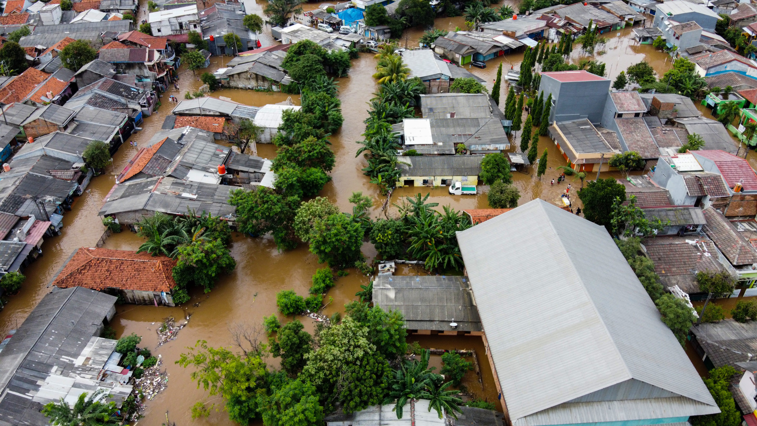
Over the past few years, increasingly worse storm seasons have brought much attention to drone use within the insurance industry. In particular, we’ve witnessed the tremendous value that drone-based aerial intelligence / drone technology can deliver to P&C claims when responding to storms.
Some of the main use cases are things like reduced loss adjustment expenses and more efficient claims response, improved customer experience, more transparency and faster repairs and improved safety for adjusters and roof inspectors. Further, the insights gained from insurance carriers, independent adjusters and roofing companies as they’ve rushed to. meet the needs of policyholders all over the country have resulted in a proven model to implement this technology most effectively.
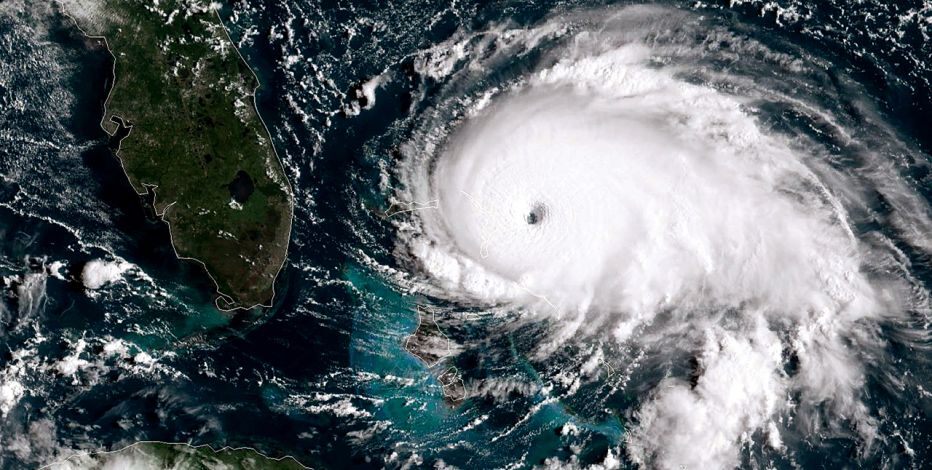
In 2021, we’re seeing an earlier than normal storm season take place, so it’s a good thing to be prepared for what this year has in store for us. You can use this post as a “checklist” of how the most successful companies are scaling their drone programs to take charge of storm season.
“We believe our new drone program will help improve response time and safety for our claim representatives during their evaluations, and ensure Farmers maintains a leadership position in the insurance industry.”
Keith Daly, Chief Claims Officer, Farmers
Storm Season Checklist
The most proven use for drones in insurance is storm response. However, to really take control of the storm season with aerial intelligence, you must ensure your solution is accurate, efficient and easy to use. That’s why we’ve developed the “Storm Season Checklist” to help companies understand the requirements to build a successful drone program.
- A detailed plan for drone deployment in storm regions
- An end to end solution that reduces the cost of storm claim inspections
- Safe, autonomous drones that let you scale across your org
- Easy to use drone software and systems that accelerate your claims workflow
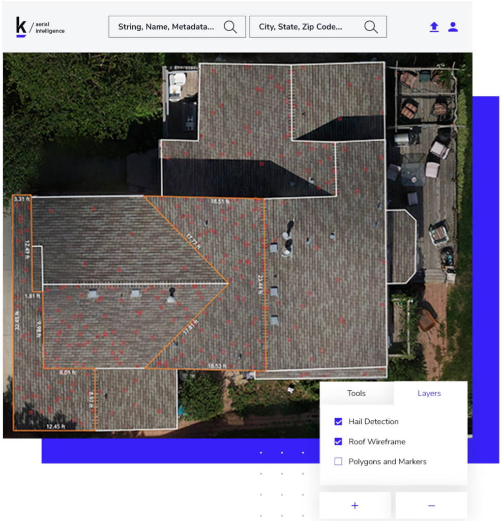
- Intelligent tools to automatically detect storm damage and build roof dimension models
- The ability to easily share data in reports or to downstream systems
#1 Detailed Plan for Drone Deployment
You’ll want to begin by deploying drones and trained staff in the areas most likely to be affected by storms. Develop a detailed plan, timeline, and goals to include:
- A project timeline with distinct pilot, integration and full production phases
- Identification of catastrophe response and regional teams to equip in the heaviest hail and hurricane regions
- Flight and regulation training, FAA Part 107 licensing
- Tracking of key program metrics to measure success and ensure ROI
#2 An End to End Solution that Reduces the Cost of Storm Claim Inspections
To effectively handle the surge in claims from storms, be sure to implement a complete, end-to-end drone-based aerial intelligence solution that automates the claims workflow, delivers the highest quality results, and lowers loss adjustment expenses. Beware of cobbled together “DIY” solutions and 3rd party service providers. These choices come with risks and inaccuracies that will ultimately cost you more in the long run.
Complete bundled systems should include a mission planning “app”, the drone itself, and inspection-specific cloud software. Lastly, be sure to choose a knowledgeable provider that will help you ramp up your program with training and support, and offers unlimited data processing to help control your costs.
#3 Safe, Autonomous Drones that let you Scale Across your Organization
Only fully autonomous drones fly themselves and capture data automatically, allowing anyone to fly safely and stay within designated geofenced areas. With simple, iPad “point and click” flight planning, you are ensured an efficient, repeatable process with the highest quality results.
This enables insurance carriers and independent adjusters to quickly scale their drone operations for storm response, as you don’t need highly skilled pilots using manual joysticks to fly the drones. Additional benefits are that you minimize human error, potential damage or costs from a drone crash, and eliminate flying over unauthorized neighboring properties.
#4 Easy-to-Use Drone Software and Systems that Accelerate your Claims Workflow
Your drone solution should provide a streamlined process to speed up estimate generation and claims resolution and minimize inspector/ adjuster time at each property.
Responding to storms comes with additional pressure to manage claims quickly so policy holders can repair or rebuild and get back to their normal lives. The most efficient systems for storm response should provide:
- Easy-to-use mobile flight planning app
- Automatic processing and secure data access for immediate use by personnel in the field and in the office
- Cloud software that can be quickly implemented into your existing workflows
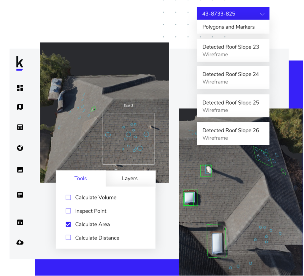
#5 Intelligent Tools to Automatically Detect Storm Damage and Build Roof Dimension Models
The most effective drone solutions provide automated AI / ML tools to identify storm damage and speed the estimate generation process.
These systems deliver:
- Automatic identification of hail and storm damage to shingles, eliminating excessive manual tagging and annotations
- Accurate, automated roof dimensions within 1-2% of manual measurements
Leveraging AI & ML will not only lead to more accurate and efficient storm claim estimates, but will eliminate the need to pay for third party dimension reports that use historical and outdated data.
#6. The Ability to Easily Share Data in Reports or to Downstream Systems
When facing a surge of storm claims, it is important that your data is easily packaged into reports and is available to share with estimatics and claims management systems so you can complete the claims process quickly.
Your aerial intelligence solution should provide easily consumable data:
- PDF reports that contain all images, annotations, dimensions, and wireframes for attachment to estimates and claims
- Access to all aerial data, images, and 3D models in popular file formats via simple export or API for sharing with downstream software systems
Leading companies are taking charge of storm season with Kespry and our drone-based aerial intelligence platform. If you’d like to learn more please reach out to us for a demo here.
You can learn more about drone technology and the insurance industry on our resources page, and insurance page.