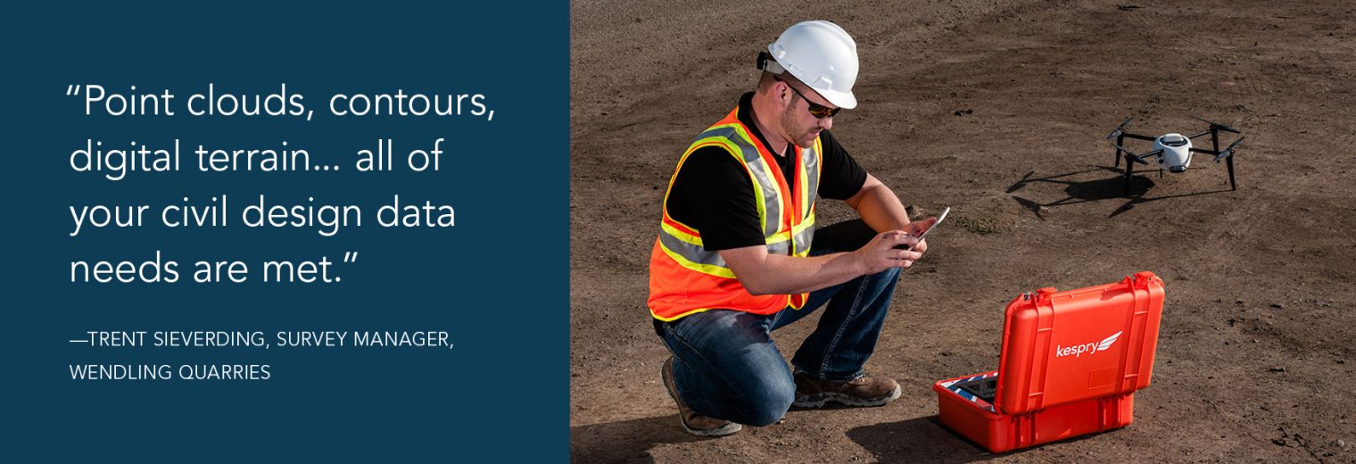
If you’re in the aggregates or mining business, chances are you’re trying to solve the same problem Trent Sieverding was facing at Wendling Quarries.
Trent knew he needed an industrial drone solution, but didn’t want to have to become a drone expert to get the quality data he needed. He needed a solution that was integrated, accurate, reliable and wouldn’t take a lot of time to set up.
We recently sat down with Trent to learn more about the research he did before selecting Kespry, how his company uses the system and what his experience using Kespry has been like.
You were looking for an end-to-end solution and had done quite a lot of research – why did you take a closer look at Kespry?
“We had already been researching and our research consultant was a surveyor. He understood drones, the software and the benefit of a high quality camera. He gave us a lot to start from, so when Kespry came into the conversation, it was pretty easy to get the ball rolling. They offered all the key features. In fact, it almost seemed too good to be true.”
In your opinion, how easy is the Kespry system to use?
“We found out that it’s so easy to operate the software that we can train somebody in a couple of days.”
Has the survey grade accuracy in the Kespry solution been valuable to you?
“I mean it’s non-stop, all the benefits. Not only do I have an absolutely great survey but I have an accurate survey of the entire site. That’s amazing.”
After you became a Kespry customer, what was the support from customer success like?
“They always supply us with great, straight to the point answers – that’s absolutely the best thing to have. Call and somebody’s there. There are people that are assigned to you.”
Any last thoughts you want to share with others who are currently researching aerial data solutions?
“The focus of the Kespry system was to get their customers to the data. We are pleased with the system and the professionals that support us.”